
Lancaster Neighbors by Block
A useful block search begins with a defined street segment, intersection, parcel boundary, or subdivision plat. Dallas County appraisal data is the starting point for the current parcel sequence. The City of Lancaster map helps establish streets, land use, districts, and neighborhood context. Dallas County official records then provide the stronger record for a deed, plat, lien, or other recorded land interest. These sources can identify adjacent parcels and owners of record, but they do not create a list of everyone who lives nearby.
| Source | Block Detail It Can Show | Access |
|---|---|---|
| DCAD map and account search | Parcel sequence, current owner, mailing and situs addresses, account, value, legal description | Public web search, phone, counter, or records request |
| City of Lancaster GIS | Street and parcel geography, zoning, land use, districts, and planning context | Interactive and map resources; reference-only layers |
| Dallas County official records | Grantors, grantees, recorded instruments, liens, plats, and legal descriptions | Public index; copies may have a charge |
| Voter records | Individual registration status, or requested list fields when public | Individual tool or statutory list-request process |
| HOA and PID sources | Association name, mapped area, and sometimes a public management channel | City maps, resource directory, and Texas certificate search |
| Historical directory material | Past address-to-occupant or business clues where a volume includes the area | Dallas Public Library and TSLAC research paths |
Keep the source labels intact. DCAD’s physical property location is the situs address, while its owner mailing address is where tax notices go. The latter may be an office, post-office box, or different residence. A current owner of record is also not the same thing as every Lancaster neighbor or non-owner occupant at the address.
Mapping Lancaster Neighbor Parcels
Work outward one parcel at a time. Before clicking around the map, capture the target DCAD account number, situs address, and legal description. Use an intersection, plat, street segment, cul-de-sac, or lot line to set the scope. A public right-of-way, alley, drainage strip, or easement can make an apparent map edge misleading. The goal is a defensible parcel sequence, not a claim about personal relationships among people on the same block.
- Search the target address in DCAD and note the account, legal description, parcel location, and owner of record.
- Open Lancaster Interactive Maps or the DCAD map, zoom to the parcel, and use parcel identification to click each adjoining parcel.
- Record each adjacent account number, street address, legal description, owner, and mailing address from the linked account cards. Mark the date of access because appraisal details can change.
- Open the County Clerk index for the parcel’s instrument, lot, block, subdivision, or recorded party. Compare the deed or plat before treating a map boundary as an ownership boundary.
For a full named-street record chain rather than the immediate block, use the Lancaster street directory. The wider street process can bring in address ranges, historic criss-cross material, permits, and code records without blurring the narrower neighbor question.
Note: The city describes its map layers as continually updated reference products, so use a map click to locate a parcel and the recorded instrument to verify title or boundary evidence.
Lancaster GIS Parcel Tools
Lancaster’s mapping pages point to interactive maps along with zoning and static-map resources. The city lists official map themes such as zoning, existing and future land use, parcel size, public facilities, parks and open space, sewer shed, slope, natural systems, thoroughfares, and overlay districts. DCAD’s documented map tools add zoom, pan, Identify, Parcel Identify, Measure, Layers, Legend, Print, and Find. Together, they can explain whether an apparent neighbor parcel is a road, common area, drainage tract, school-related parcel, or a separate private tract.
Lancaster Interactive Maps is the source shown in this captured image.
The map host provides geographic context before an adjacent parcel is checked in DCAD or the County Clerk’s recorded index.
The parcel viewer cannot settle every boundary question. DCAD data products include parcel dimensions, subdivisions, neighborhood classifications, city boundaries, school districts, and historic certified parcels for listed tax years. Yet DCAD explains that the legal parcel is defined by the recorded deed held by the County Clerk. Use GIS to locate the tract, then compare the lot, block, subdivision, instrument, easement, or right-of-way language in the recorded source.
Lancaster Neighbor Ownership Checks
A DCAD account card is a concise current appraisal summary. It can show the account number, property location, owner and mailing address, ownership percentage, neighborhood, legal description, land and improvements, exemptions, value, estimated taxes, history, map links, and electronic-document links. It is a strong way to distinguish parcels on a block. It is not a deed image and it does not prove occupancy. A homestead flag is narrow appraisal evidence, not a household roster.
The DCAD residential account-detail sample shows the fields that can anchor a Lancaster neighbor search.
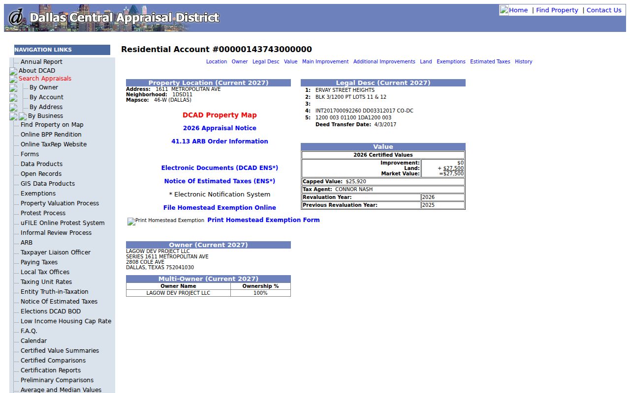
The card illustrates why owner, mailing, and property-location fields should be kept separate in a block note.
Use the legal-description line or instrument reference to move from the appraisal record to Dallas County Official Records Search. Search by instrument number first when available, then by recorded party, subdivision, or legal-description terms. The historical QuickLink deed-index path covers 1846 through 1963, while the County Clerk says real-estate records available online have been digitized from 1846 to current. The dynamic current interface does not state one universal online cutoff, so a zero result can call for the historical index, Clerk counter, microfilm, or a focused copy request.
Dallas County Official Records Search is shown in this captured screen.
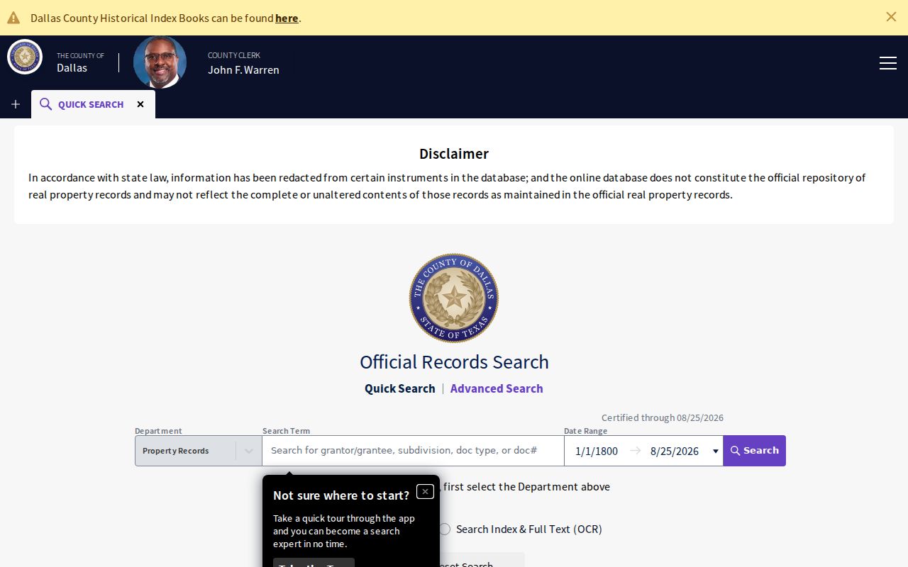
The Quick and Advanced search choices help locate a recorded instrument after the parcel card supplies names and legal-description clues.
Lancaster Neighbor Source Roles
The most useful comparison is among official sources, not between competing name lists. DCAD answers a current appraisal and owner-of-record question. Lancaster GIS answers a location and context question. The County Clerk’s recorded index answers an instrument and land-interest question. Each source is incomplete in a different way, which is why an ownership or boundary conclusion should preserve the source and access date.
| Source Category | Best Block Question | Limit to Keep in Mind |
|---|---|---|
| Official appraisal and parcel sources | Which parcel is next, and who is the listed current owner? | Owner, mailing, and situs fields do not prove all occupants. |
| Official recorded instruments | What deed, plat, lien, or legal description supports the parcel trail? | An index hit needs the underlying image or custodian copy for full context. |
| Commercial neighbor-report category | What mixed records and address histories are being compiled? | These reports can be stale, merge same-name people, and confuse business, mailing, and residence addresses. |
For a clear Lancaster neighbors note, cite the custodian, date the result, state whether the name is an owner or a recorded party, and omit protected or unnecessary details. A commercial compilation is not a substitute for the parcel card, deed, voter registrar, or association source that created the underlying record.
Lancaster Neighborhood Associations
The City of Lancaster publishes a current neighborhood-association map, not a private member roll. Its mapped names include Ames Meadow, Anderson Farms, Beltline Ashmoore, Bear Creek Ranch, Eastside Acres, Glendover Estates, Harvest Hill, Hearthstone, Lancaster Boardwalk, Lancaster Historic Neighborhood District, Lancaster Mills, Meadow Creek, Meadowlands, Meadowview, Millbrook, Pleasant Run Estates, Quail Hollow, Spring Creek, Ten Mile Creek, Tribute at Mills Branch, Wellington Park, Westwood V, and other HOA or PID areas. Use the name and mapped geography to understand the block’s community layer.
The city’s neighborhood-association maps are shown in this capture.
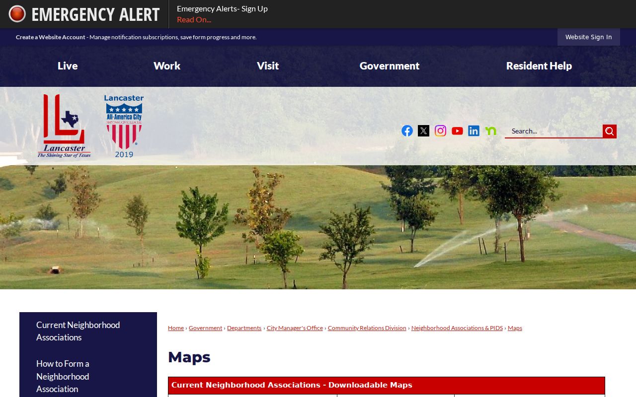
The map gives association and PID context, while the research found no complete household roster published by the city.
The city resource directory has category and name search, alphabetic browsing, and 34 captured listings. It includes examples such as Ames Meadow HOA, Anderson Farms HOA, Beltline Ashmoore Estates HOA and PID, Eastside Acres HOA, Glendover Estates PID, Harvest Hill HOA, Hearthstone HOA, Lancaster Boardwalk HOA and PID, the Lancaster Historic Neighborhood District HOA, and Lancaster Mills HOA and PID. Some entries give a management-company or postal channel; others state that no contact information is available.
| Association Lead | Public Source | Available Contact Route |
|---|---|---|
| Ames Meadow HOA and Anderson Farms HOA | Lancaster resource directory and association map | Use a current directory entry when listed; do not infer a household membership list. |
| Lancaster Boardwalk HOA/PID and Lancaster Mills HOA/PID | City map and resource directory | Check the published management or postal channel where the current listing supplies one. |
| Texas-filed association certificate | Texas HOA management-certificate search | Search by association name, Dallas County, Lancaster, ZIP, or type; the database warns that submitted information may be incomplete. |
| Map correction or update | City neighborhood-association page | 972-218-1303 or communityrelations@lancaster-tx.com for city map information updates. |
Lancaster Block Voter Rules
An individual voter lookup has a narrow function: registration status and polling-place information for that person. It is not a normal public button for a block list. A county or statewide list request is a separate process under Texas Election Code chapter 18. The state list rule in section 18.066 requires an affidavit and has delivery, fee, and use limits. A request should state the needed geography and fields, while excluding protected address and identifier fields.
Myth: a voter file does not reveal every detail about Lancaster neighbors. Texas protects Social Security numbers, driver-license and DPS numbers, phone numbers, and confidential addresses. Address Confidentiality Program participants and qualifying protected voters may not have a public residence address. An active, suspense, or cancelled status is a time-specific registration condition, not proof of current physical presence.
Use voter information only for a focused civic or record-verification purpose. Do not try to fill a protected address from a relative, parcel, school zone, business record, or older deed. Dallas County Elections lists voter-registration contact information at 1520 Round Table Drive in Dallas, with the voter-registration line at 214-819-6388. The county’s live individual lookup had a limited rendering during research, so its current visible fields should be checked directly before relying on them.
Note: A precinct can explain election geography, but it does not establish who occupies every parcel along a Lancaster block.
Historic Lancaster Neighbor Blocks
Historic blocks require an older set of sources. Lancaster was incorporated in 1852 and platted in 1857 around Centre Avenue and the town square. Historic subdistricts include Hall’s Branch, Downtown, East Side Strand, Keller Branch, and Town Square. The city preservation material identifies streets such as E. 7th, S. Dallas, E. Third, S. Ellis, N. Henry, Redbud, and W. Main as useful place-specific anchors. These terms can help when an older index gives a lot, block, or broad Lancaster reference rather than a modern subdivision label.
For historical neighbors, pair a directory or criss-cross volume with census schedules, newspapers, Sanborn sheets, block books, plats, and deeds from the same period. Dallas Public Library and TSLAC are the documented routes for much of that material. A directory or map can identify a past address clue, not prove a modern household. The city’s former railroad edge and town-square geography can also explain why nearby parcels have changed use or street context over time.
The historic-district vocabulary is a useful alternative to ZIP geography. A ZIP may cross different development eras, city edges, and association areas. Keep the subdivision name, plat, parcel account, and city map together before comparing a historic block with a current one.
Lancaster Neighbor Lookup Limits
Non-owner occupants, children, utility subscribers, delivery information, DMV data, protected voters, and Address Confidentiality Program participants are outside an ordinary parcel search. A visible owner mailing address can belong to an office, post-office box, or another location. GIS, homestead data, permits, code notices, a voter result, and a deed each answer a separate limited question. None establishes a full household or gives permission to contact someone.
For city address records, Lancaster Code Compliance may have an owner-of-record notice, violation, cure, lien, or citation trail. Its process says notices go to the owner of record and typically allows ten days to cure. The contractor permit portal is not a complete public historic index. For missing material, use the responsible city office, the County Clerk, a library or archive, or a written Texas Public Information Act request that identifies the exact existing record needed.
Lawful use. Use Lancaster neighbors records for a specific, personal, lawful purpose. Do not use a block search to stalk, harass, intimidate, or expose a protected person.