
Lancaster ZIP Codes and Postal Coverage
Lancaster's ZIP code directory has three local postal facts to keep in view. ZIP codes 75134 and 75146 are the principal labels in Lancaster material. The City of Lancaster Streetscape Master Plan also identifies a small part of 75241 inside the city. These are postal delivery geographies, not an incorporated-boundary map. Use the city plan for local context and the USPS address lookup for the delivery ZIP of one complete street address.
| ZIP Code | Areas Covered | Post Office | Notes |
|---|---|---|---|
| 75134 | Lancaster areas, especially northern and western residential growth and portions marked on the city ZIP map | Lancaster preferred city or post-office designation in public ZIP references | Standard-delivery ZIP. Its polygon does not exactly match a city boundary; verify a full address with USPS. |
| 75146 | Core, southern, and eastern Lancaster areas and much of the city | Lancaster preferred city or post-office designation in public ZIP references | Standard-delivery ZIP that can extend into Dallas and Ellis County geography outside incorporated Lancaster. |
| 75241 | A small Lancaster portion documented in the city Streetscape Master Plan | Dallas postal city | Important city-limit mismatch. The plan excludes this small Lancaster part from its ZIP demographic discussion. |
No selected USPS result or exact Lancaster station address was captured in the research. That gap is why the table uses the documented postal designation and does not assert a station address, a PO-box-only ZIP, or a unique institution ZIP for Lancaster.
Read Lancaster's 75134 Postal Area
ZIP 75134 is one of the two principal Lancaster postal labels and is associated in the city ZIP map with northern and western residential growth as well as other Lancaster areas. It is useful for checking an address and organizing a map search, not for assuming that everyone who shares the number lives within one municipal boundary. A ZIP result can include routes that are relevant to delivery but do not answer a city-incorporation or parcel-title question.
To move from 75134 to a property record, use the complete street address in DCAD or the Lancaster map. The DCAD card supplies the physical property location, owner mailing address, legal description, and account number. Those fields have different meanings and should not be merged merely because an address carries a Lancaster postal label.
Where Lancaster 75146 Reaches
ZIP 75146 covers core, southern, and eastern Lancaster areas and much of the city, yet public ZIP datasets indicate that its delivery geography can extend into Dallas and Ellis County areas. This is the clearest reason not to turn a ZIP code directory into a city-resident list. A 75146 address may be a sound delivery address while a city planning, voting, tax, or parcel question still belongs to another jurisdiction.
For an address near an edge, compare the USPS result with Lancaster city-boundary layers and the DCAD parcel card. The city map identifies geography and DCAD identifies the appraisal account; neither replaces the recorded deed when the question is ownership or the exact boundary.
Keep Lancaster's 75241 Edge
The city Streetscape Master Plan documents a small portion of ZIP 75241 in Lancaster. The plan treats 75241 as a Dallas postal city and says its small Lancaster portion is excluded from the plan's ZIP demographic discussion. Retain that ZIP when USPS returns it for a complete address. Dropping it would lose a real Lancaster edge; using the whole ZIP as a Lancaster statistic would be just as misleading.
This mismatch is a local records clue. A postal city, an incorporated city line, a county line, a school district, and a parcel boundary can all differ. Check the records custodian tied to the issue rather than relying on the city name printed beside the ZIP.
Find Records Within a Lancaster ZIP Code
A ZIP code narrows geography but does not unlock a ZIP-wide resident roll. Verify one delivery address with USPS first. Then shift to the source that is actually indexed for the next question. DCAD has city and address-range controls rather than a visible ZIP field. Its map, street ranges, data products, and a focused written request are the documented property routes. The Texas individual voter tool is identity and status based, while the captured statewide voter-list form offers geography and other reductions but does not show a ZIP filter.
- Enter a complete address in the USPS ZIP Code Lookup and retain the returned city, state, ZIP, and ZIP+4 as delivery information.
- Use the Lancaster interactive map and DCAD address search to place that address in the city and locate the relevant appraisal account.
- For several parcels in one postal area, use DCAD street-name ranges, map browse, GIS data products, or a focused DCAD open-records request. Do not assume DCAD has a visible ZIP filter.
- For association context, use the Texas HOA management-certificate search with city, county, ZIP, name, or type. It returns association filings, not household names.
- For voter information, use the individual status route or make a list request under Texas Election Code rules that excludes protected fields and follows the required affidavit.
Once a ZIP search has narrowed the address, use the Lancaster street directory for the address-first parcel and deed sequence. That step changes the question from postal geography to the records tied to a particular street.
Use Lancaster ZIP Code Search Tools Carefully
Not every relevant official tool accepts a ZIP input. The contrast is useful: USPS verifies delivery at one address, the HOA certificate database can filter associations by ZIP, DCAD searches the parcel by city, street, account, owner, business, or map, and the voter request form has county, district, and other filters but no captured ZIP field. A ZIP code directory search should name that limitation instead of presenting a false one-click route.
| Official tool | ZIP input | Relevant fields or route | What the result means |
|---|---|---|---|
| USPS ZIP Code Lookup | Complete-address verification | Street address, city, state, and resulting ZIP or ZIP+4 | Delivery geography for that address, not city membership or ownership |
| Texas HOA management certificates | Yes | Association name, county, city, ZIP, and type | Association certificate or management context, not member names |
| DCAD address search | No visible field captured | Address Number, Direction, Street Name, City, Range From/To, Account Type, and Map | Parcel and appraisal-account route after a street is known |
| Texas voter request form | No captured ZIP field | County or district geography, mailing address, age, surname, sex, election history, and status options | Statutory list request subject to an affidavit and protected-field exclusions |
DCAD's address-search form is shown below. Its City selector and range controls can help after a postal lookup identifies a street, but the inspected screen does not expose a ZIP field.
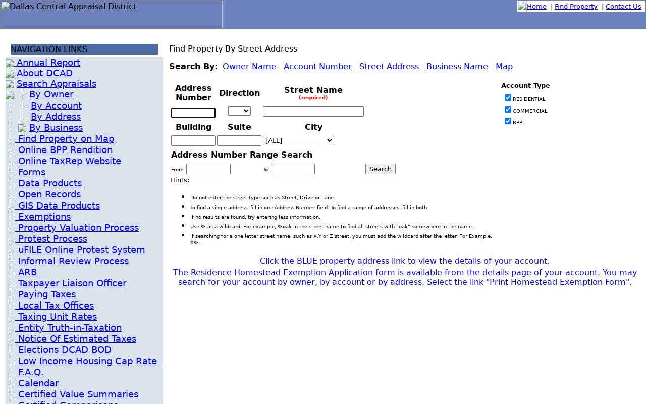
The form makes the distinction visible: DCAD supports a street-and-parcel workflow, while the ZIP code remains a delivery clue to confirm before mapping the property.
Map Lancaster ZIP Code Context
GIS adds the layers that a postal lookup lacks. Lancaster publishes maps for zoning, existing and future land use, parcel size, public facilities, parks, sewer sheds, thoroughfares, natural systems, and overlay districts. DCAD data products add parcels, subdivisions, city and county boundaries, ISDs, special districts, neighborhoods, and historic certified parcel layers. Use those overlays to see why two addresses sharing a ZIP may belong to different city, school, or parcel contexts.
The Lancaster interactive-map page is pictured here. The city marks its GIS as continually updated reference material, so verify an ownership or boundary conclusion with DCAD and the County Clerk.
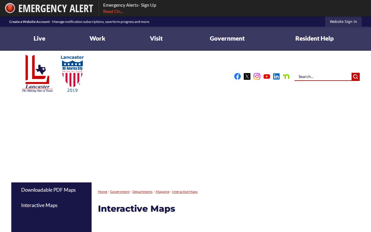
A postal polygon is one overlay among many. It cannot settle a legal description, a voter jurisdiction, or an owner-of-record question by itself.
Find Lancaster Associations by ZIP Code
The state HOA management-certificate search is one documented official route with a ZIP filter. It accepts association name, county, city, ZIP, and type, and the research returned Lancaster examples in 75134 and 75146. The result is an association filing rather than a directory of individual households. Lancaster's own neighborhood-association maps and resource directory add association names, map context, and sometimes management contact, but no complete member roster was located.
The City of Lancaster neighborhood-associations map page is shown below. It identifies current HOA and PID map material and supplies an update channel, which is useful when a ZIP-filtered association result needs to be placed on the ground.
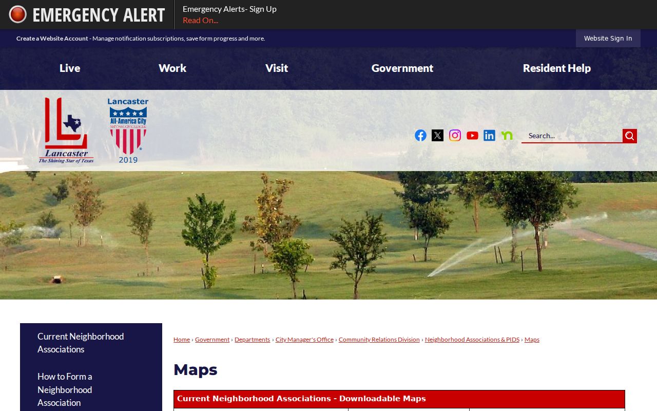
Association and postal areas are not guaranteed to share boundaries. Compare the map with a recorded plat or parcel record before treating an HOA name as evidence for any particular address.
Lancaster ZIP Codes Versus City Limits
ZIP boundaries and Lancaster city limits do not match. The 75146 delivery area can reach beyond incorporated Lancaster, and part of 75241 falls within Lancaster while carrying a Dallas postal label. An owner's tax mailing city can differ again from the Lancaster situs address. When a search produces a mismatch, keep the delivery result, then identify which question is being asked: postal delivery, city jurisdiction, parcel location, owner contact, or land title.
- ZIP and ZIP+4
- A five-digit ZIP identifies a postal delivery area. ZIP+4 adds a smaller delivery segment for a complete address; neither sets a city limit.
- PO-box ZIP
- A ZIP used for post-office boxes rather than ordinary street delivery. No Lancaster PO-box-only ZIP was identified in the research.
- Unique ZIP
- A ZIP assigned to one large organization or recipient. No Lancaster unique ZIP was identified in the research.
- Carrier route
- A postal delivery sequence used to organize mail service. It is not a neighborhood boundary or a household list.
Note: The USPS live result for a chosen Lancaster address did not render during research, so confirm every current delivery ZIP directly with USPS before relying on it.